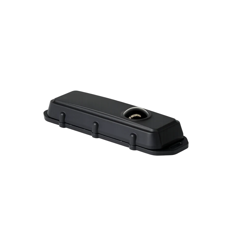
BARRA-RADAR-BLE · Wireless trackers
Barra Radar BLE
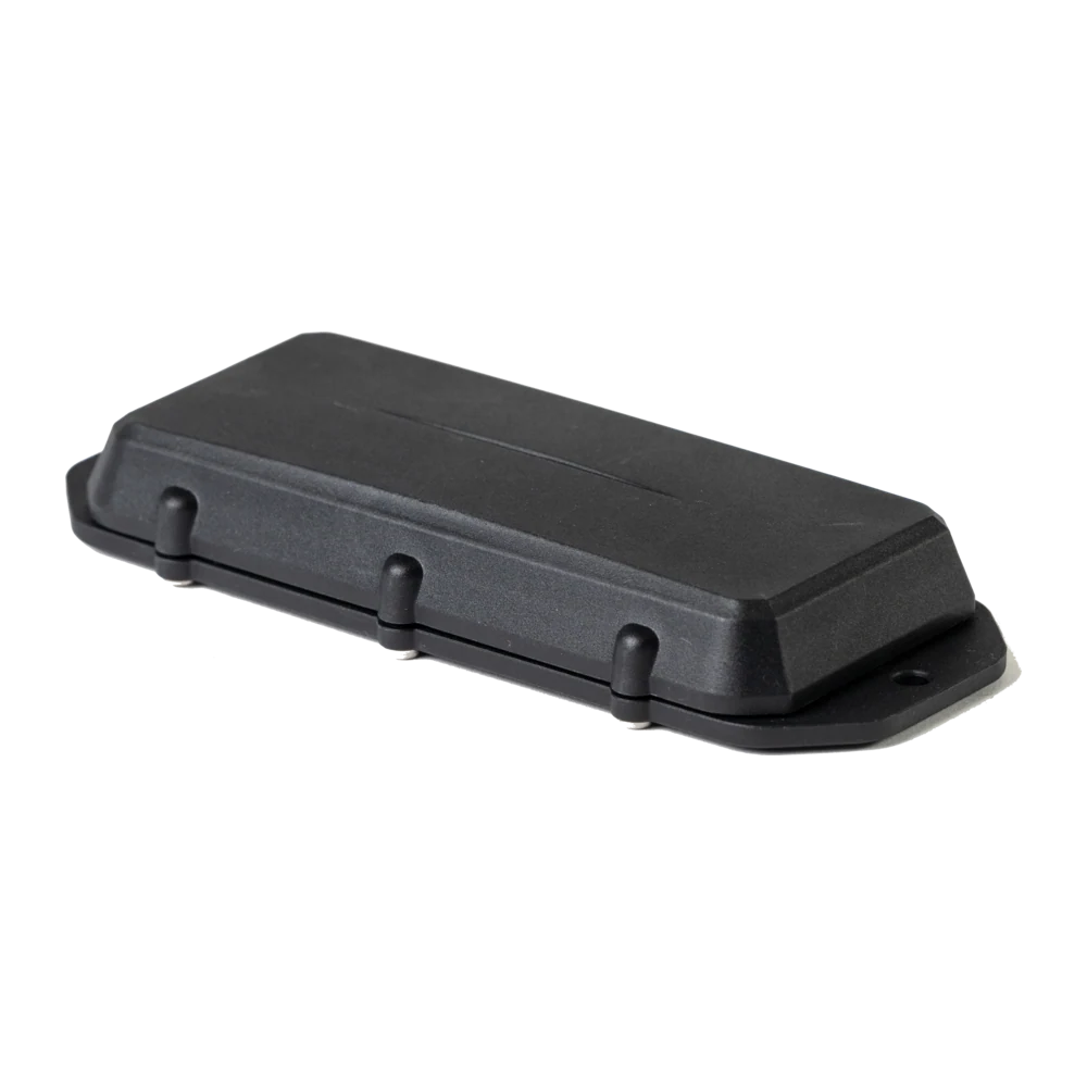
Object and Level Detection via Radar Bluetooth device in Barra form-factor (batteries not included)
IN STOCK · ZAR
HomeSolutionsOperations, Workflow & ProductivityLive Professional Navigation
Operating layer · Solution
Truck-safe fleet navigation for South African drivers, with live traffic, multi-stop routing, geofenced delivery windows and integrated workflows.
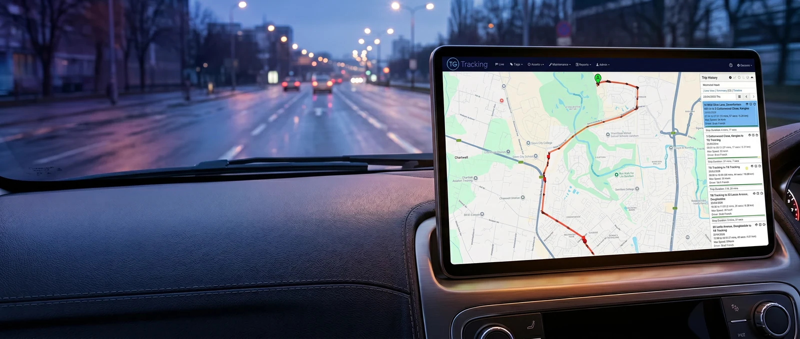
Route confidence on every truck, van and trailer on the road, built around the vehicle that is actually driving. A truck-safe profile loaded into Live Navigation routes a 32-tonne tautliner along the corridors it is allowed on, with the live traffic, the delivery windows and the next stop's geofence all in the same app the driver uses. The approach to the De Doorns interchange stays on the trunk route, the dispatcher in Bedfordview sees the same plan, and the day runs against the route the vehicle was actually built for.
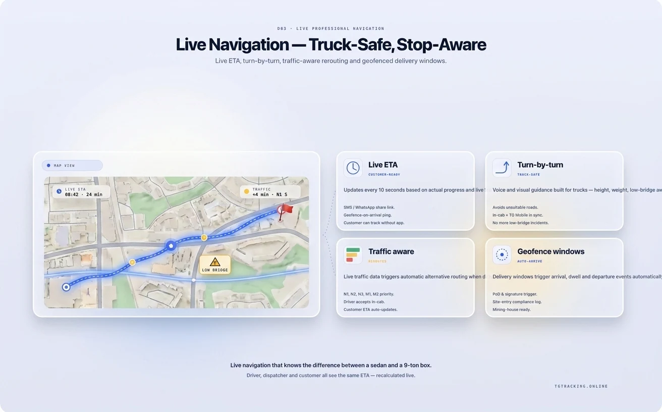
Live Professional Navigation from TG Tracking gives South African drivers truck-safe, vehicle-specific turn-by-turn routing with live traffic, multi-stop optimisation against delivery windows and integrated job workflow. It plugs into Fleet Tracking and Management, Vehicle Inspection App and Digital Checklists and Paperless Processes so the driver runs the route, the inspection and the proof-of-delivery from one phone, in one app, signed off in one audit log. See the cluster overview at Operations and Workflow.
Vehicle profile awareness, multi-stop optimisation and workflow integration. The first stops a 4.6 m trailer being routed under a 4.2 m bridge. The second turns 21 stops into 18 stops with a 47-minute saving. The third lifts proof-of-delivery, customer ETAs and exception alerts off the driver's WhatsApp.
A consumer app routes around traffic. A truck-safe app routes around traffic and around the road rules of the vehicle on the route. A fleet vehicle profile in TG Mobile carries the data that consumer apps either ignore or do not have:
When a planned trip would breach any of those, the navigation rebuilds the route around the constraint. The driver does not have to know the constraint exists.
A 21-stop courier route in greater Johannesburg is not 21 nearest-neighbour decisions. It is 21 customer-promised time windows, 21 geofenced delivery zones, three traffic-condition windows across the day, one driver shift constraint and one vehicle profile. Live Navigation builds the optimised order against all of that, then re-optimises live as a stop runs over, a customer reschedules or a road closes ahead.
A driver running a 21-stop list reorganised into 18 priority stops with three deferred to tomorrow saves 47 minutes of driving and 38 km of fuel without missing a window. The supervisor sees the same plan in TG Online, so the dispatch board and the driver's phone show the same truth.
The stop itself is where consumer navigation hands off to nothing. Live Navigation hands off to the rest of the platform. Arrival at a geofenced customer location triggers a job acknowledgement, the proof-of-delivery checklist, the customer signature capture and the time-stamped photo evidence, all on the driver's phone. The same arrival event closes the trip leg, updates the customer's ETA on the next stop and prompts the driver's pre-departure inspection if it is the start of a new shift. Digital Checklists and Paperless Processes, Vehicle Inspection App and the navigation share one driver app rather than three.
The route engine is configured for the operational reality of moving freight, parcels and people in this country.
N3, N1, N4 and N2 corridors. Long-haul route profiles built around real travel-time bands, weather-affected sections like the Van Reenen's Pass and the N2 fog belt around East London, and the recovery network's known lay-bys.
Cross-border SADC. Beitbridge, Lebombo, Maseru Bridge, Skilpadshek, Kopfontein. Border-window awareness and pre-cleared route profiles for known operators.
Mining and industrial corridors. Mine-site protocols, off-public-road entry routes and integration with Mining IVMS for compliance-zone awareness on sensitive sites.
Rural and farm-route resilience. Offline-capable mapping for sections where cellular coverage is patchy, with the route held in cache so a driver in a dead zone still has the next instruction.
Consumer apps optimise for the shortest car route. Fleet navigation optimises for the legal and physical route of a specific vehicle, against delivery windows and an integrated job workflow.
No. The dispatch board pushes the optimised stop order to the driver's phone. The driver follows turn-by-turn navigation between stops without re-planning each leg.
Live re-optimisation. A road closure, a customer reschedule or a delivery overrun triggers a new optimised order. The supervisor sees the change in TG Online.
Yes, with cached maps and the route held locally. New live-traffic updates pause until the link returns and resume automatically.
Yes. The API and webhooks push and pull stop lists, ETAs, arrivals and exceptions into your TMS, ERP or dispatch tool. Specific integrations are scoped during onboarding.
No. TG Mobile runs on the driver's phone or tablet. A vehicle-profile-aware route runs on the same device.
Yes. Hazmat class, abnormal-load dimensions and route-permit constraints are part of the vehicle profile.
Live Navigation puts the driver, the dispatcher and the customer on the same plan for the day. Book a Live Navigation demo and we will route your real fleet on a real day, with your vehicle profiles and delivery windows already loaded.
Trackers and apps that turn the daily ops checklist into live, exception-driven workflow.
Object and Level Detection via Radar Bluetooth device in Barra form-factor (batteries not included)
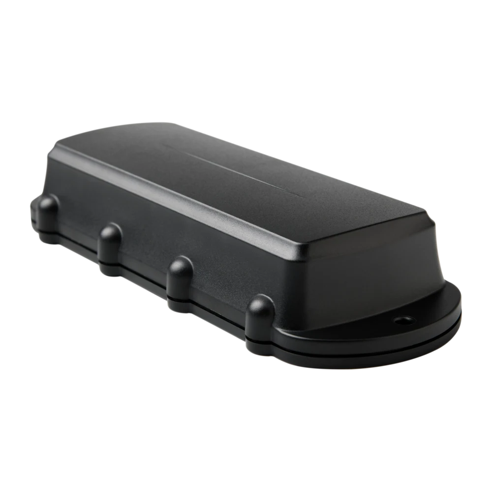
Remora3 Global GPS tracker on 4G Cat1bis with 2G fallback, Bluetooth 5.2 gateway
Remora3 GPS tracker on 4G LTE-M / NB-IoT with Bluetooth 5.2, massive battery life
Manta form-factor GPS-only tracker on 4G LTE-M / NB-IoT
Tell us what you run, where you run it and the risk profile. We'll match the hardware, platform and rollout plan to your operation.