Tiled Map Format
In order to set up map overlays in TG Online, you must first create your map files in Tiled Map Format, and host the tiles in a publicly accessible webserver.
To create the tiles you can use services such as Maptiler, QGIS or ArcGIS
Hosting
Host your files somewhere such as Amazon S3 Storage
Set Up
To set up a map overlay,
- Go to Admin -> Map Overlays
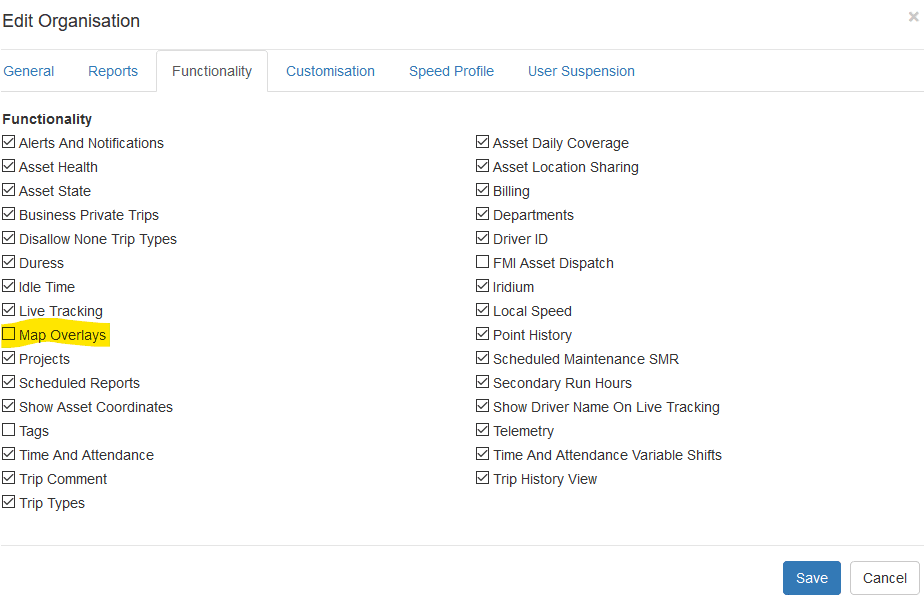
(the user account will need the Map Overlays permission – contact TG Tracking if you cannot access map overlays) - Click Create in the top left
- These options are presented
- Name
- URL
- Extension
- Default Opacity
- Minimum Zoom
- Maximum Zoom
- North Boundary
- South Boundary
- East Boundary
- West Boundary
- Hidden by Default
Mouse over the tooltip near each option for more information.
Overlays are added to each organisation. If you need the same overlay on multiple organisations, you will need to create it multiple times.
More in TG Online
Points of Interest and Distance Order Markers
Points of Interest and Distance Order Markers are available on the live view in TG Online, and help to quickly identify the answers to questions like…
Read guideEvents vs Alerts
In TG Online, Events and Alerts are similar, but different. In general they operate in much the same way, and are linked. Alerts An Alert Condition is a…
Read guideSetting up a User Account and Adding Additional Users
When you create a user in TG Online, that user account is created in the Organisation that you are currently logged in to. For example, if you’re a…
Read guideGet more from TG Tracking
See the platform in action or talk to the team about your fleet, assets and reporting setup.